Source: EcoWatch
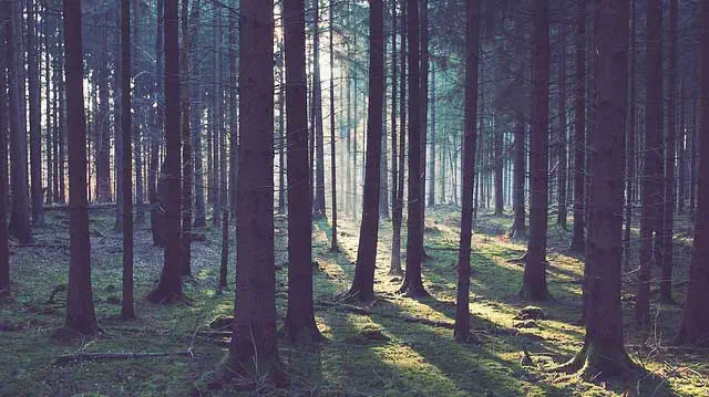
Scientists have begun to use various forms of satellite technology to track and map charted dryland forests throughout the US.
Using Google Earth, researchers collect data to determine how many trees reside in dense and sparse dryland areas.
The data is then mapped to adequately identify and track the number of forests throughout the US and other parts of the world.
Researchers from UN Food and Agriculture Organization and World Resources Institute, along with other universities and organizations, developed the technique in order to study how trees are being impacted by weather and climate changes.
Overall, dryland forests comprise more than 40 percent of the world’s land surface.
Read full story at: EcoWatch